Free map
Every county in your state, ranked.
Pick a state and get it as a Google Earth layer: every county in it scored 0–100 on the four things a homestead cannot do without — water, privacy, hazard exposure and access. Nothing is screened out and every county is clickable, so you get the whole state rather than somebody else's shortlist. Leave an email address, confirm it, and the download link comes by email.
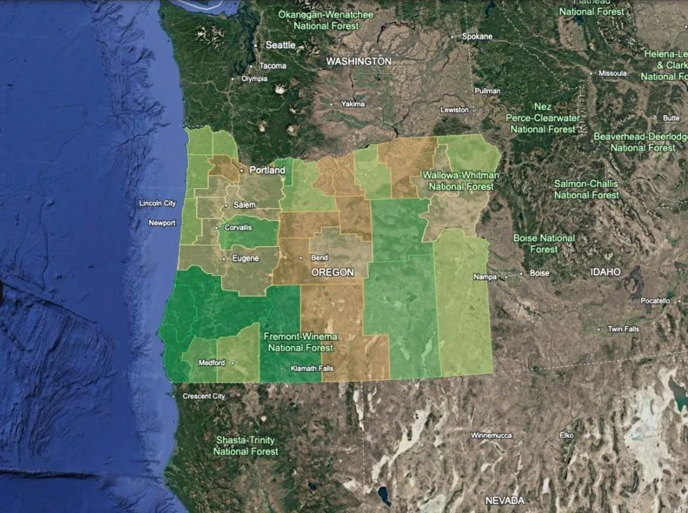
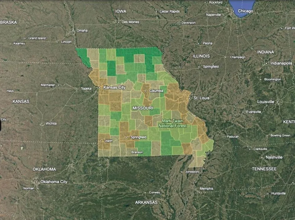
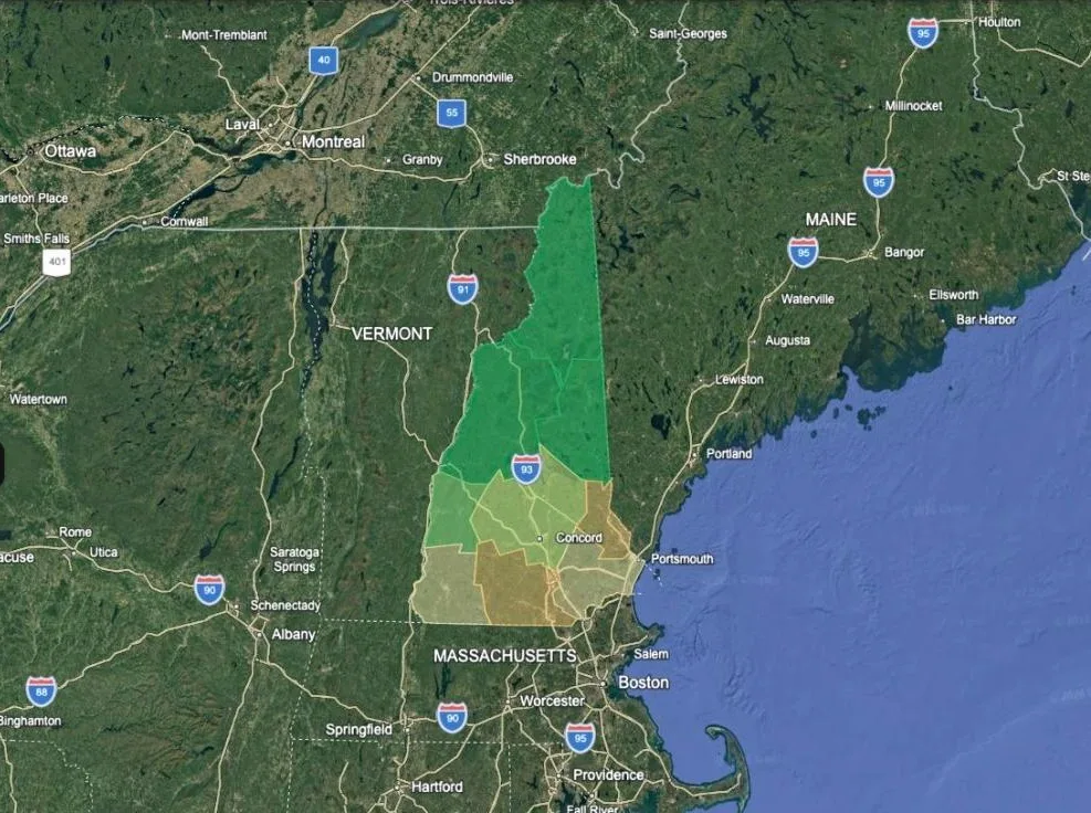
Darkest green is the top tier in that state; orange is the bottom. Every county is clickable for its scores.
Base imagery © Google.
Pick your state.
Each one is a .kmz plus a written guide, under 60 KB. The address is the price — the download link comes by email, and after that a few sends a year when a layer is corrected or a new one lands, never weekly.
The download link comes by email. AWeber first sends a confirmation — nothing else goes out until you click the link in it — then the map link follows within a minute. Every send unsubscribes in one click, and the address goes nowhere else: see privacy.
What it actually measures
Four blocks, weighted. The weights are an opinion and the layer says so — but every one of them is stated, and every county's numbers are in its balloon, so you can disagree with the arithmetic rather than guess at it.
- Water, 40% — the better of rainfall and well depth rather than the average of them, because they are redundancy, not substitutes. Drought takes the rain away across a whole region at once; a deep aquifer rides out several dry years and then depletes permanently. A county with both gets a bonus, because that is categorically better than either alone and a plain maximum cannot say so.
- Privacy, 25% — population density on a curve, multiplied by how much of the county is actually developed, and again for sitting inside a metro commuting ring.
- Hazard, 20% — the single worst hazard, not the mean. Which hazards you will accept is personal: a Gulf Coast buyer accepts hurricanes and a Californian accepts earthquakes, but nobody accepts an average of the two. Each hazard is ranked against its own national distribution, using annualized frequency rather than expected loss — which otherwise reads an empty county as safe simply because there is nothing there to destroy.
- Access, 15% — straight-line distance to the nearest town of 5,000 or more. It peaks in a band and falls off both sides, because being in the town is a different problem from being three hours from one.
Internet is reported in the balloon and deliberately not scored: connectivity runs directly against remoteness, so scoring both in one index makes them cancel out.
This screens places, not parcels. It tells you where to look, not what to buy — not the flood zone, not deeded access, not whether there is water on the ground.
Why one state and not the country
Because a national ranking has a region, and a free map whose job is to be useful to you specifically should not spend its one chance telling you to move to Arkansas. Ranked nationally on a wetter, more wooded thesis, fifteen states hold every high scorer and thirty-seven have none at all — so a reader in Montana or Texas opens it, finds nothing, and leaves. Asked one state at a time, the question becomes answerable everywhere: can you get water, get out, and not be wiped out.
All 50 states, DC and Puerto Rico are built. Take the one you are actually shopping in — or see each state's top counties first.