Your state's screen is free for an email address. The complete map is bought by email: write to
support@preparedground.com, pay by reply, and the files come
back the same way. Nothing here is a
subscription: you keep the files, and to get notified of updates you can
join the mailing list. Current release 2026-10-02 —
what changed.
Your state
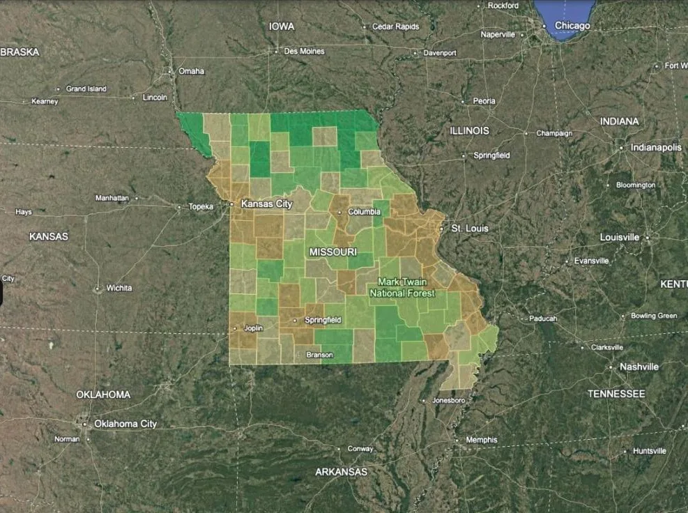
One state, every county in it ranked — free for an email address.
Free
free · for an email
- Every county in the state scored 0–100, all of them clickable
- Water, privacy, hazard and access — the four weights stated in full
- All 50 states, DC and Puerto Rico built
- Nothing screened out, so it works wherever you are shopping
Get your state
Pick a state, leave an email, and the download link comes by mail.
Best value
All 35 layers
The complete set, one file per layer.
$49
USD · one-time
- Every layer as its own
.kmz — load only what you need - Water, hazard, people, law and security, across the US, Canada and Mexico
- The full filtering guide and a quickstart
- Yours to keep — no subscription, no account
Email to buy — $49
Email, pay by reply, files by email. Google Earth Web, Pro or mobile.
Custom layer
Something that isn't in the set, built to your criteria.
$100
USD · one-time
- Anything derivable from public data
- No buy button — scope agreed by email first
- If it can't be built properly, you pay nothing
- May also be sold here afterwards — see the terms
How it works — $100
Not parcel-level: no flood determinations, title, or listings.
Property mapping
Your shortlist on the map: 5 properties, a pin and a boundary each.
$50
USD · one-time
- Send 5 listing links; get one
.kml back - Approximate boundaries traced from public parcel records
- Every property carries how sure the match is
- Half price — $25 per 5 if you own the complete map
How it works — $50
Not a survey. Email to order; pay by reply.
Everything in the $49 complete map
- County Trajectory
- Well Depth
- Water Rights
- Wildfire Hazard
- Seismic Hazard
- Radon Zones
- Prime Farmland
- Growing Season
- Emergency Access
- Broadband
- Property Tax
- Public Land
- Metro Proximity — USA
- City Proximity — Canada
- City Proximity — Mexico
- City Proximity — Central America & Caribbean
- Building Codes
- State Screen — Gun Laws
- State Screen — Homeschool Laws
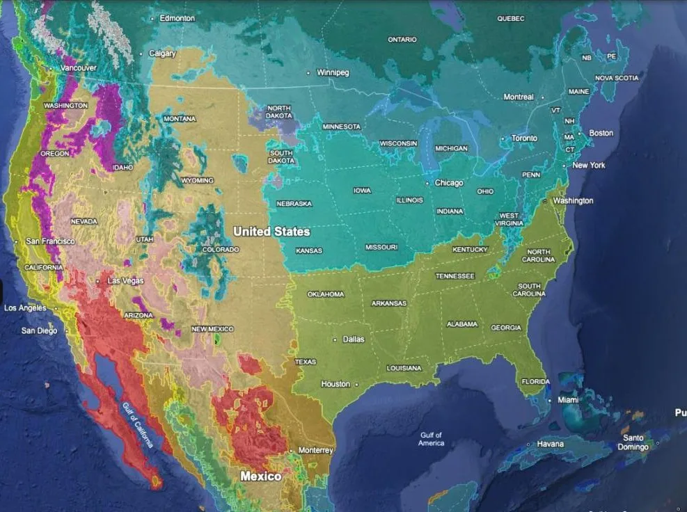
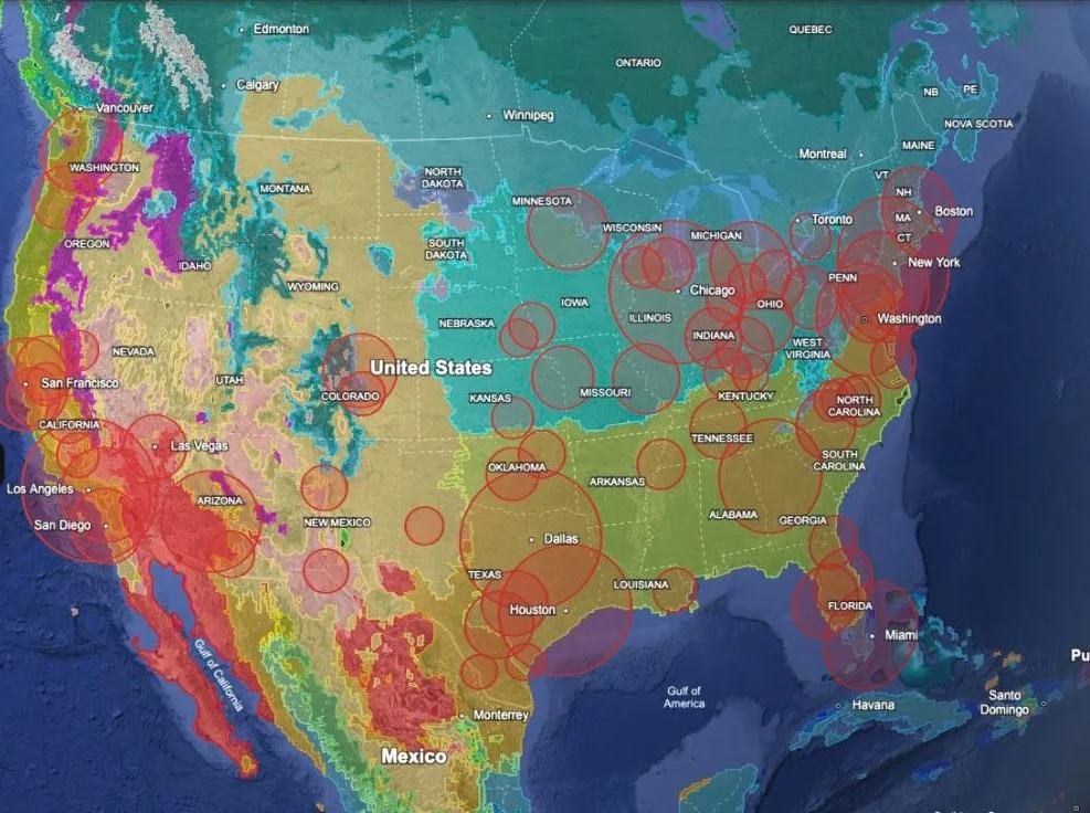
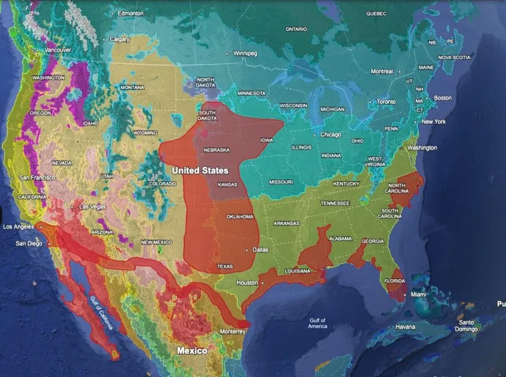
- Climate Classification
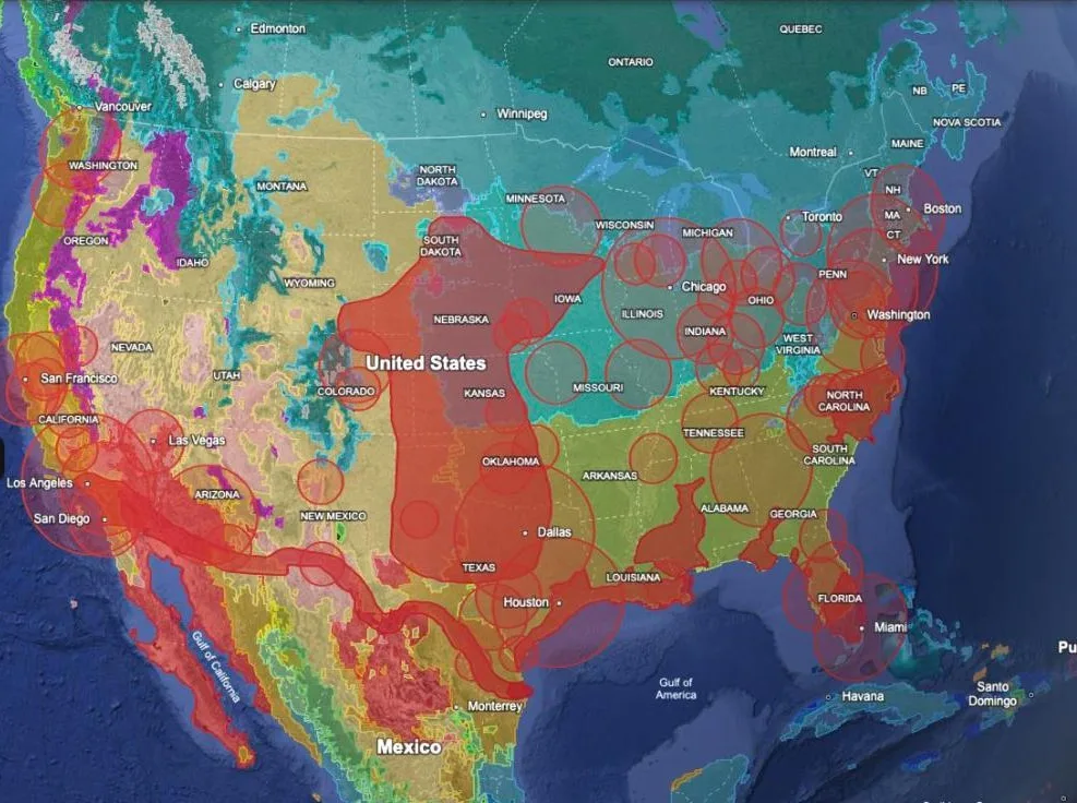
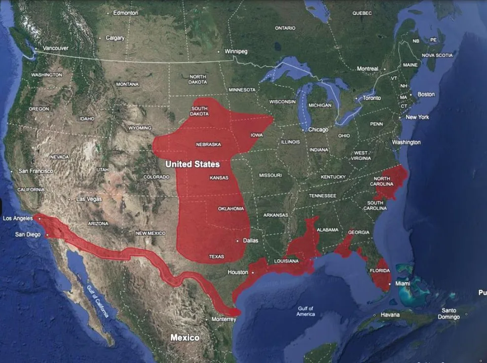
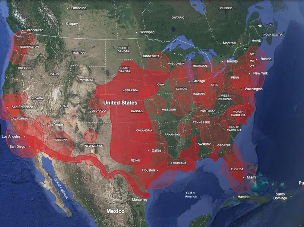
- USA Risky Zones
- Broadband Availability (Canada)
- Mexico Groundwater
- Mexico Population
- Mexico Internet
- Military Installations
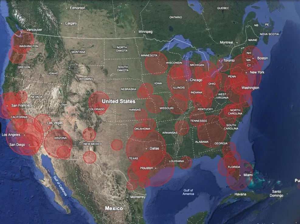
- Nuclear Strike — Largest Cities
- Nuclear Strike — Largest Bases
- Canada — Cold War Bunkers
- USA — Cold War Bunkers
- Remote and Connected
- Annual Rainfall
- Temperature — Winter Low
- Temperature — Summer High
- Temperature — Annual Mean
What each one draws, and where its data comes from →