States · District of Columbia
Washington, DC
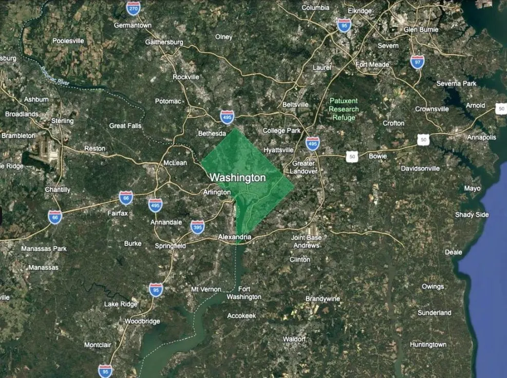
The District counts as a single county, so the State Screen draws it in one colour with nothing to rank it against. It is here for completeness rather than because it helps a land search.
Free for an email address: a Google Earth file with every county clickable.
Then make it yours
The State Screen is one opinion of what matters. The complete map is 35 layers you switch on and off to suit your own search — wildfire, water rights, radon, well depth, state gun and homeschool law, distance from the cities, military sites and more — across the US, Canada and Mexico.